SIGHTDolomites, Italy
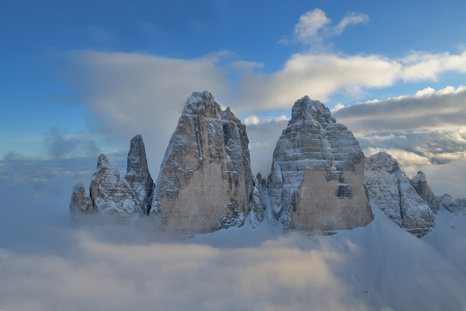
The Dolomites, a landscape worth slowing down for
Choose a valley, understand the mountain conditions, and give this complex landscape more than a hurried photograph.
8 min readRead story
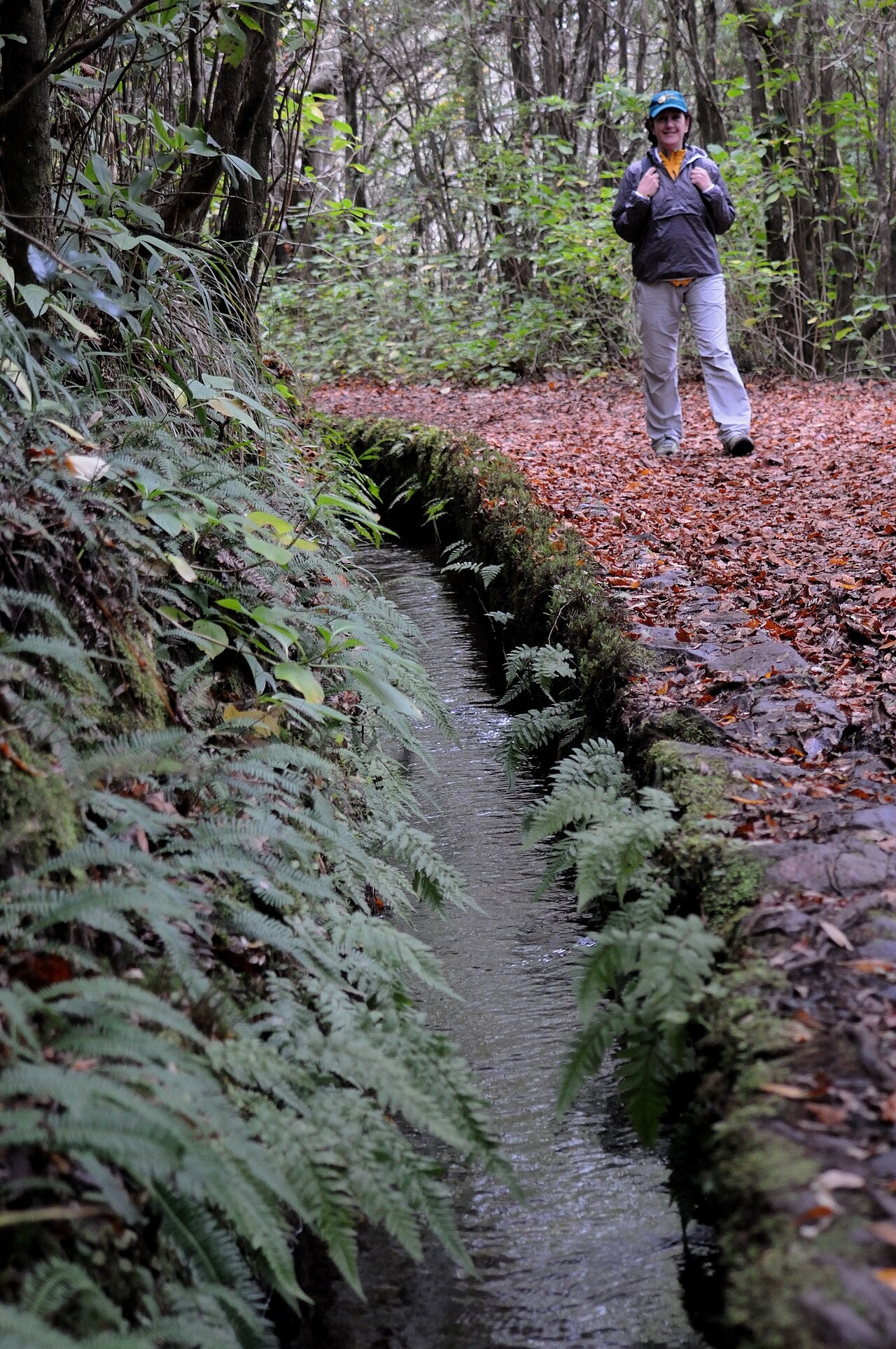
On a levada path, Madeira reveals itself at the speed of running water. A narrow channel slips around a hillside, trees lean across the walking line, and a break in the canopy suddenly opens an entire valley. These are working landscapes rather than scenery arranged for hikers. Water infrastructure, cultivated slopes and forest occupy the same frame. The most rewarding visit is not a race towards a famous waterfall, but a carefully chosen walk that lets you notice how the island holds together.
By Journey Into Wellbeing editorial team
Published: November 11, 2026
Updated: November 11, 2026
7 min read
Walks are possible across the year, but mountain weather and official trail status matter more than a calendar recommendation. Keep an alternative day and route.
Fly to Madeira Airport and arrange onward transport to your accommodation. For trailheads, compare current public transport with licensed guided transfers, taxis or a rental car; do not assume a bus serves both ends of a walk.
Levadas carry water along the contours of Madeira's steep terrain. For a walker, the fascination lies in their combination of engineering and intimacy: a small built channel can lead through an enormous landscape. Look at the retaining walls, the changes in slope and the way cultivation appears below the forest. A photograph of the view makes more sense after you have noticed the water beside your boots.
A levada is not automatically a public walking route, nor does a gentle water gradient guarantee an easy outing. The adjacent footpath may be narrow, exposed or interrupted by tunnels and steps. Choose a classified itinerary using its official description, not simply a social media image. That distinction turns a vague wish to walk beside water into a plan appropriate to your confidence and mobility.
The island's walking network offers forest interiors, open viewpoints and routes where distant agricultural terraces give scale to the mountain slopes. Decide which experience you actually want before comparing trail names. Someone seeking a relaxed look into a green valley needs a different plan from a walker comfortable with confined tunnels or prolonged exposure.
Rabaçal's famous routes attract attention, but a recognisable name is not a guarantee of suitable conditions. Read the separate descriptions for each branch rather than treating the area as one interchangeable walk. If the desired route is closed, choose another officially open itinerary instead of assembling a detour from informal map lines. A less celebrated open path is a better landscape experience than an anxious encounter with a closure barrier.
The tourism board describes PR 11, Vereda dos Balcões, as a short return walk from Ribeiro Frio, following the Levada da Serra do Faial towards a viewpoint. Its appeal is the relationship between a comparatively compact walk and an expansive outlook. Treat this as a route candidate, not a promise of access: check its individual page and the current status list before travelling.
PR 10, Levada do Furado, is a substantially longer proposition between Ribeiro Frio and Portela. Official notices can include closures or alternatives with very different demands. Do not transfer the easy reputation of nearby Balcões to this route. Read the latest route notice in full and ask a qualified local operator to clarify any uncertainty.
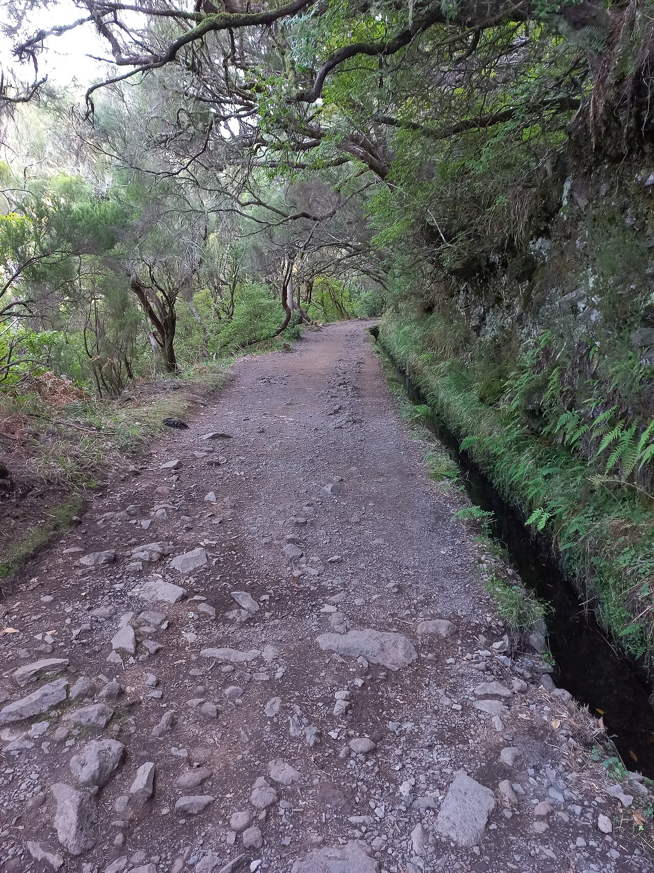
Madeira's Laurissilva gives levada walking much of its character. Instead of treating the canopy as a corridor to the next viewpoint, stop where the path safely widens and examine its layers. Leaves catch light at different heights; roots and damp stone make a small scene worth as much attention as a distant ridge. Forest changes the way you see scale, drawing the eye from a valley down to the channel's edge.
Keep those pauses considerate. Stand clear of the walking line, avoid trampling the margins and leave plants where they grow. Sound also changes the experience: without a speaker or a rushed conversation, water and movement in the canopy become easier to notice. There is no need to identify every species to appreciate this habitat, and no reason to feed wildlife to bring it closer to a camera.
Check the official hiking status page while planning, again before departure and once more if conditions change. A route description explains its normal character; an operational notice determines whether you should enter it now. Closures may concern only part of an itinerary, but that does not make the rest a useful through route. Resolve the exact start, finish and permitted turnaround before leaving your accommodation.
Cloud, rain and wind can transform an outing even when Funchal feels comfortable. Carry waterproof protection and a warm layer rather than judging mountain conditions from a coastal breakfast terrace. If visibility deteriorates, water crosses the path or the group feels unsafe, turn back while that decision is still simple. A reserved slot or prepaid transfer is not a reason to continue into conditions beyond your ability.
Footwear should provide dependable grip on wet surfaces, and your bag should contain water, food, a charged phone and an offline route reference. For an officially permitted itinerary involving tunnels, carry a proper light and check clearance and footing before entering. A phone torch is a poor foundation for an entire tunnel plan, especially if the same battery is needed for navigation and communication.
Exposure deserves an honest conversation before the walk. A narrow path can feel very different to someone uncomfortable with heights, even when its elevation gain looks modest. Ask about unprotected edges, passing places, tunnels and handrails rather than asking only whether a route is easy. Give oncoming walkers room at safe wider points. Never step into the channel or out onto unstable ground merely to keep a queue moving.
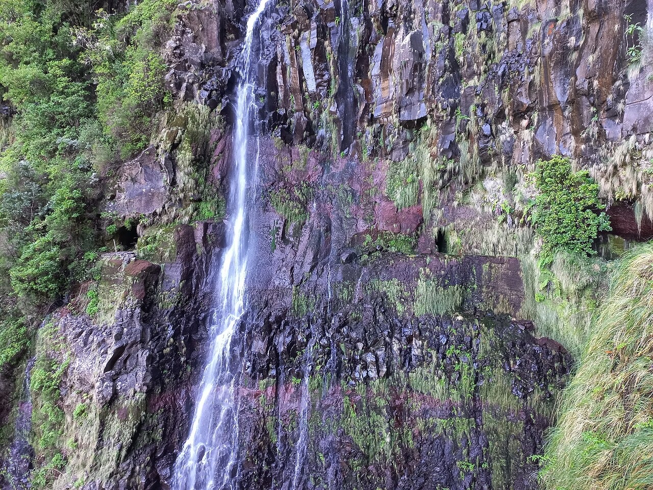
A line on a map is not a transport plan. For a point to point itinerary, confirm the pickup location, the driver's contact details and what happens if you finish late or turn back. Mobile reception may not be dependable everywhere, so save information offline and agree on contingencies in advance. Leave your intended route and expected return with someone who is not walking with you.
A guided transfer can be worth considering when it removes uncertainty about access, weather interpretation and the return journey. Ask what the service includes: transport alone is different from a qualified guide accompanying the group. Rental cars give flexibility but do not solve the problem of ending far from where you parked. Public buses can work for some plans, provided the actual timetable and walking access to the stop fit the day.
Keep the budget broader than admission alone. Trail access arrangements, transport, guiding, food and the possibility of changing plans all matter. The official tourism guidance directs visitors to the regional SIMplifica booking system for classified trails; confirm the current reservation and payment requirements for your chosen route. Save the confirmation offline, and do not assume an operator's quote already includes every access requirement.
Economy comes from matching the outing to your needs, not from bypassing controls or attempting an unsuitable walk without help. Carry a picnic, share a legitimate transfer where practical and keep a weather alternative that does not require entering closed terrain. Take litter away, leave the channel unobstructed and never interfere with water controls. The landscape remains compelling because it is alive and functioning, not because it has become a stage for visitors.
Some classified walks can suit beginners, but the word levada describes water infrastructure rather than a difficulty grade. Compare exposure, surface, tunnel sections and total walking demands. Start with an officially open route appropriate to the least confident person in your group, and arrange guidance if the description leaves important questions unanswered.
No. Follow official closures and instructions on site, regardless of other visitors or an old downloaded itinerary. Conditions affecting a route may not be visible at the entrance. Select an open alternative and reorganise transport rather than testing whether the barrier really applies to your planned section.
Do not infer wheelchair access from a short distance or an easy hiking label. Narrow surfaces, steps and barriers may still prevent passage. Ask the tourism office or route manager about the precise section, current surface, gradient and accessible facilities, using the dimensions and requirements of your own equipment.
Call 112 in an emergency and give the route code, your location and the nature of the problem as clearly as possible. Keep the group safe without exposing others to a fall. Carry identification and relevant medical information, and do not rely on a phone signal as your only safety measure.
Verify opening arrangements, transport, access rules and safety information with official sources. We omit numerical budget ranges where reliable current figures have not been verified.
Keep exploring
Choose a valley, understand the mountain conditions, and give this complex landscape more than a hurried photograph.
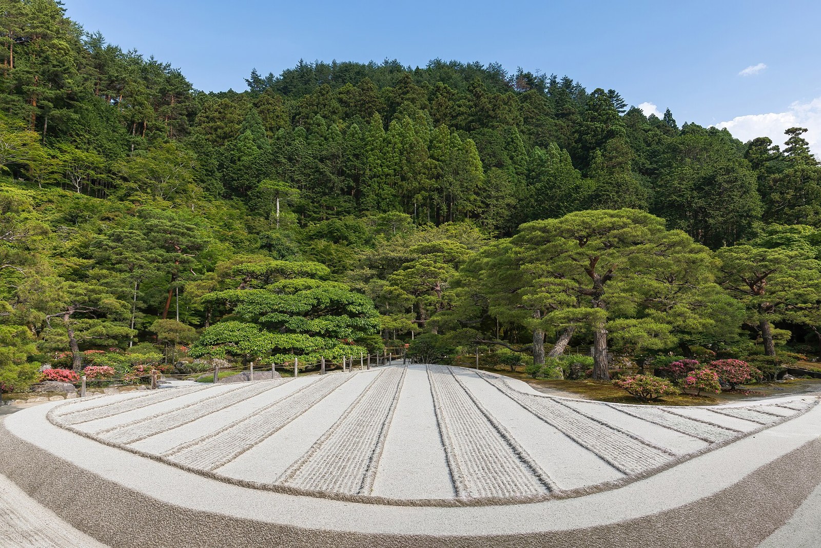
An attentive approach to Kyoto gardens, with time for framing, seasonal change and the rules that protect quiet spaces.
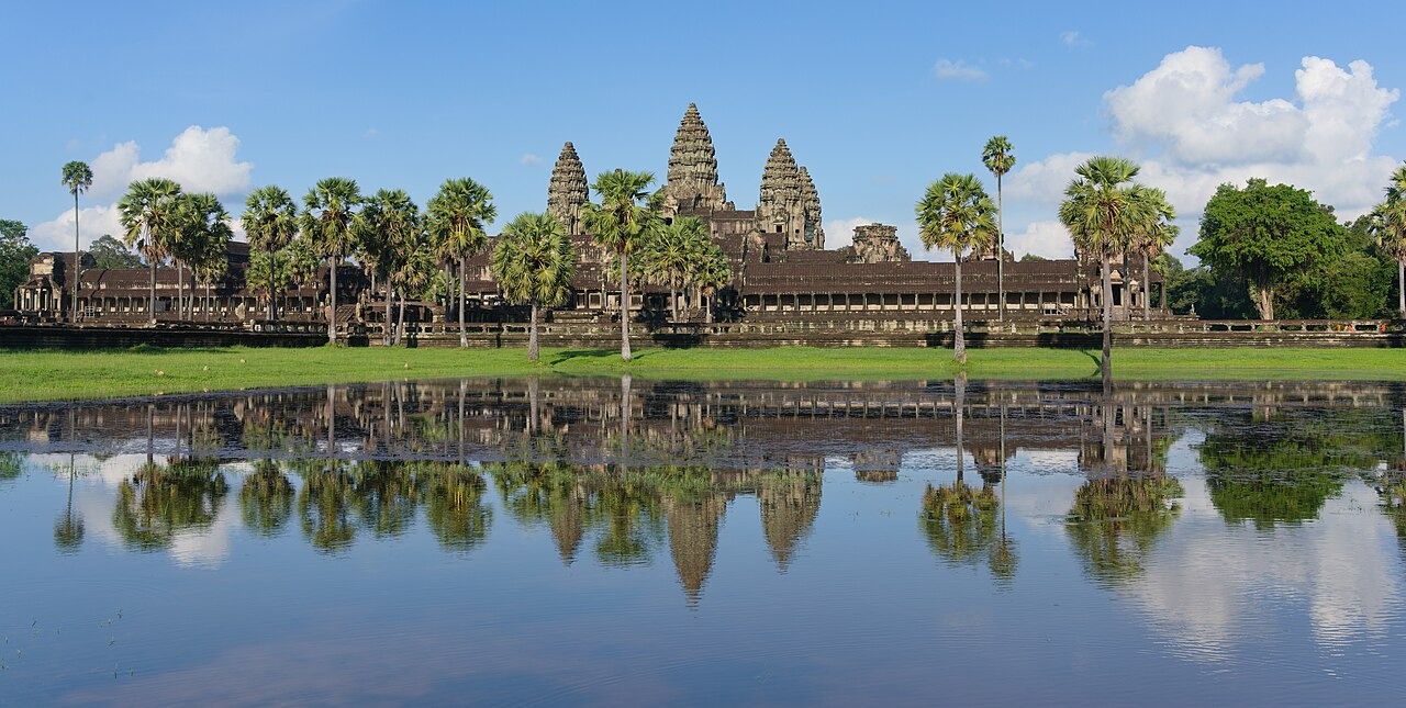
Angkor rewards the visitor who looks beyond the outline of its towers. A doorway frames another doorway; a carved figure seems to emerge as the light moves; a long approach makes the building ahead feel deliberately distant. This is architecture experienced through movement. Around the monuments lies a much larger landscape of water, roads, forest and communities. Come to northern Cambodia with time to look closely, and the temples become more than a sequence of impressive silhouettes.


