SIGHTKyoto, Japan
Kyoto gardens: the art of looking closely
An attentive approach to Kyoto gardens, with time for framing, seasonal change and the rules that protect quiet spaces.
8 min readRead story
Choose a valley, understand the mountain conditions, and give this complex landscape more than a hurried photograph.
By Journey Into Wellbeing editorial team
Published: November 11, 2026
Updated: November 11, 2026
8 min read
Summer into early autumn suits many walking trips, subject to snow, weather and operating schedules. Winter requires a different plan and appropriate mountain skills.
Reach a regional rail gateway such as Bolzano, Bressanone or Belluno, then use the relevant valley bus network. Check seasonal connections and the final return service before choosing accommodation.
The Dolomites reward a smaller itinerary than their photographs suggest. Pale rock towers, wooded slopes, villages and pasture are not interchangeable stops on a scenic circuit. They belong to different valleys with different approaches, languages and transport connections. Choose a base that suits what you actually want to do, whether that is gentle walking, mountain photography or demanding routes. A map that shows elevation and paths is more useful than a saved collection of images. The apparent distance between two viewpoints tells you little about the journey between them.
The UNESCO property is not one continuous national park with a single entrance. Its protected mountain systems sit within a wider inhabited region. The UNESCO Dolomites Foundation describes the importance of managing tourism across those systems, rather than treating the whole area as one attraction. For a first visit, resist combining every famous lake and summit. Staying in one valley gives you time to recognise the shape of a ridge, understand the local bus network and change plans without sacrificing an entire day to driving.
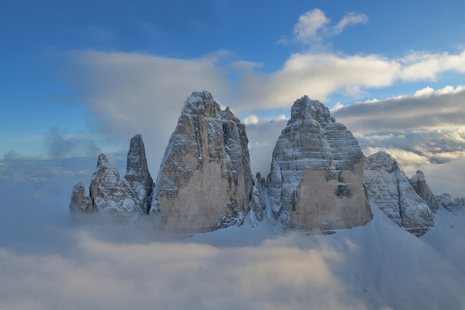
There is no obligation to gain substantial height to appreciate these mountains. From an established valley path, look for the transition between woodland, pasture and exposed rock. Notice where a cliff catches direct sunlight and where its gullies remain dark. Cloud can reveal structure as effectively as clear weather, separating a foreground slope from distant peaks. Take a proper pause before deciding that the next viewpoint must be better. A comfortable, legal place to sit may offer a more absorbing encounter than a crowded summit platform.
For photography, choose a position that does not require stepping into vegetation or blocking the path. Warm evening light can alter the apparent colour of the rock, but the effect depends on conditions and should not become a promise around which you build a risky descent. Plan your return in daylight. Keep a wider composition that includes the landscape around the peaks, rather than repeatedly approaching an edge to remove other visitors from the frame. Binoculars can be more useful than a longer hike when you want to study distant rock formations.
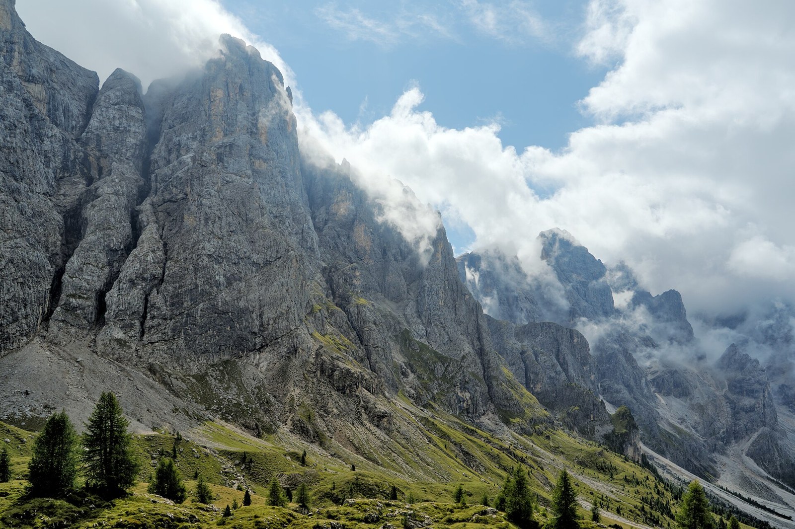
Read route descriptions for terrain, ascent, exposure and expected walking time, not just distance. A short mountain path can be unsuitable for someone who is uncomfortable with steep drops. A cable car may remove much of the climb without removing loose ground, altitude or an exposed descent. Ask your accommodation, a local visitor office or qualified mountain professional about current conditions, then compare their advice with your own fitness and equipment. If a description is unclear about whether scrambling or protected climbing is involved, do not assume it is an ordinary walk.
Via ferrata routes are not sightseeing paths with an occasional handrail. They require appropriate equipment, knowledge and a realistic assessment of conditions; inexperienced visitors should seek qualified instruction or guiding rather than improvise. For a nontechnical day, choose a clearly described walking route with an uncomplicated retreat. Carry suitable footwear, layers, waterproof protection, drinking water, food and navigation that works without reception. Downloading a map is useful, but it does not replace knowing how to read it or recognising when the actual ground differs from your expectation.
A fine forecast in the valley does not guarantee comfortable conditions on a ridge. Check the relevant local mountain forecast and any route notices close to departure. If thunderstorms are forecast, avoid committing to exposed ground and leave enough flexibility to turn back. Start with a definite decision point: a junction, a change in weather, or the latest time at which you can continue safely. Treat that point as part of the plan, not a failure of determination. A hut or lift should never be assumed open simply because it appears on a map.
Snow can remain on higher paths beyond the period that feels like summer in town. Conversely, a clear autumn day may arrive after some seasonal services have ended. Check lift operations, bus timetables and hut opening information separately; they do not necessarily follow the same calendar. Winter walking, snowshoeing and skiing introduce avalanche and other snow hazards that a summer itinerary cannot address. If your trip is mainly about seeing the landscape, a lower, maintained route in appropriate conditions is often a better decision than trying to reproduce a high mountain photograph.
Choose accommodation after examining the bus stops and service pattern, not before. Regional rail can bring you close to the mountains, but onward travel is the part that determines whether a car-free stay feels straightforward. A base within walking distance of a useful stop and everyday services reduces reliance on expensive last-minute solutions. Check whether the same connection runs on weekends and outside the main season. Save the current timetable and identify the final practical return, allowing time to reach the stop without racing downhill.
A car does not eliminate access constraints. Popular destinations can have managed road access, parking rules or reservation arrangements that change by season. The Foundation specifically identifies pressure at Lake Braies and Tre Cime di Lavaredo as a management concern. Consult the responsible local authority before departure rather than relying on an old travel post. Do not stop on narrow roads for photographs, park across agricultural access or assume an apparently empty verge is permitted parking.
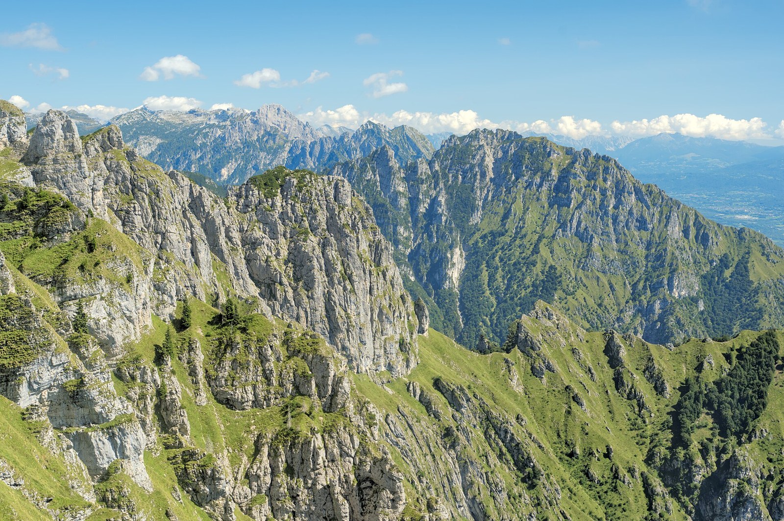
Alpine meadows are not spare space around the scenery. Stay on designated paths, close gates as instructed and keep a considerate distance from livestock. Do not approach animals for a photograph or offer food. Where dogs are permitted, follow local lead requirements and be prepared to choose a different route if livestock or wildlife makes the encounter unsuitable. Carry out all rubbish, including food scraps. A quiet landscape is not an invitation to play music aloud, launch equipment without checking regulations or spread a picnic across a working track.
The region includes Italian, German and Ladin cultural settings, with language use varying by place. Use the names shown on local signs and make room for the fact that one destination may have several legitimate names. In villages, keep outdoor voices down and ask before photographing people closely. Mountain huts are practical businesses, not guaranteed public lounges: check whether meals, overnight stays and facilities require reservations or purchases. Tell staff about dietary needs in advance where possible, and never build a route around finding food or drinking water at an unconfirmed opening.
A satisfying day can begin with a short valley walk, continue with a longer pause at an accessible viewpoint and finish in the village before the weather changes. Keep a lower alternative that is genuinely appealing, such as an established woodland walk or a local cultural visit. Check its opening or access conditions too. This is especially useful for mixed-ability groups: the person who wants a demanding outing should not make everyone else dependent on completing it. Separate plans need a clear meeting arrangement and independent safe return options.
Leave room at the end of the trip to revisit somewhere nearby. Repetition makes the scenery more legible: you may notice a different band of rock, a cloud shadow or the scale of a pasture beneath a cliff. It also reduces the pressure to keep travelling when conditions are poor. The practical measure of a successful Dolomites visit is not how many recognisable locations you collect. It is whether you can return safely, understand a little more of the place and leave its paths, villages and working landscapes in good condition.
Yes. Choose a valley base with suitable signed walks and accessible viewpoints, then verify the surface, gradients and transport for each outing. Do not treat a lift ride as proof that the paths at the top are easy. Ask about step-free access directly if that is essential.
Check the official arrangements for the specific destination and travel date. Managed access can differ between roads, parking areas and shuttle services. Confirm what a reservation actually covers and do not assume it includes transport or permission to park elsewhere.
Reassess visibility, footing and your return route before continuing. Turn back while navigation remains straightforward if conditions exceed your experience. Never leave a marked route to seek a clearer view. In an emergency, contact local emergency services and give your location as accurately as possible.
Verify opening arrangements, transport, access rules and safety information with official sources. We omit numerical budget ranges where reliable current figures have not been verified.
Keep exploring
An attentive approach to Kyoto gardens, with time for framing, seasonal change and the rules that protect quiet spaces.
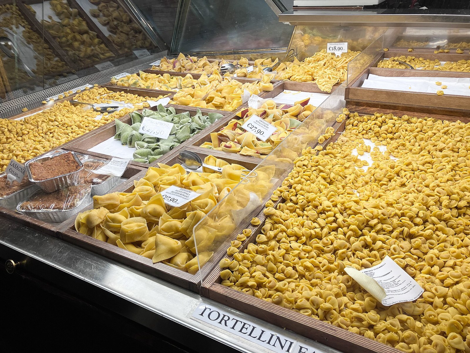
Explore pasta, market shopping and the practical pleasures of eating in a working Italian city.
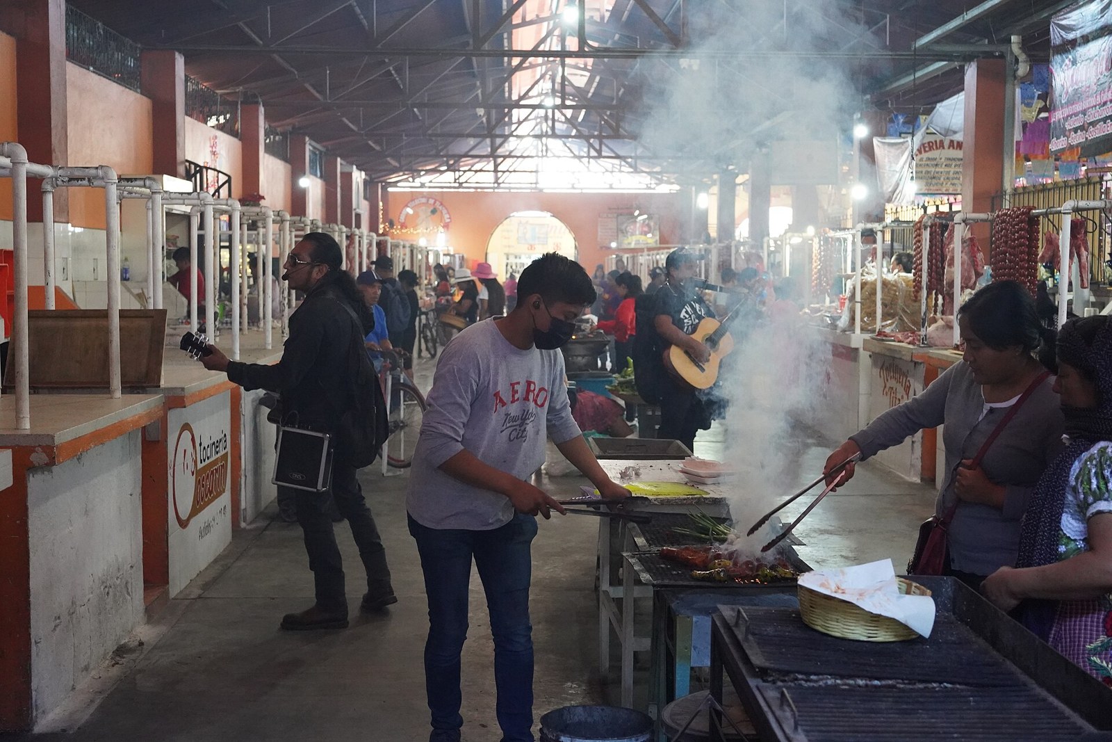
A thoughtful route through Oaxaca’s food markets, balancing appetite with practical questions and respect for working stalls.


